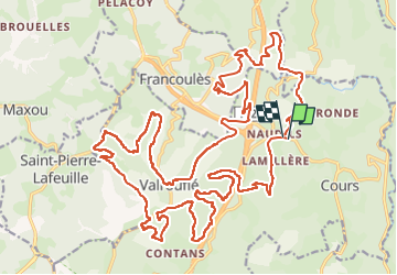

14,1 km | 19,8 km-effort


Utilisateur


Application GPS de randonnée GRATUITE
 SityTrail
IGN / Instituts géographiques
SityTrail World
Le monde est à vous
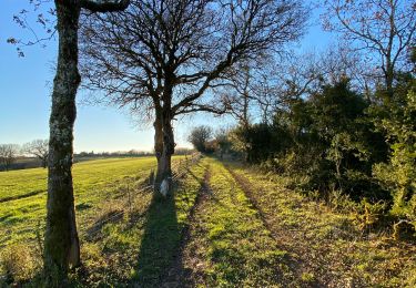
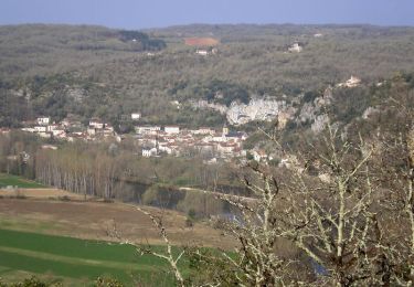
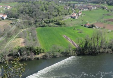
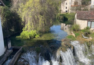
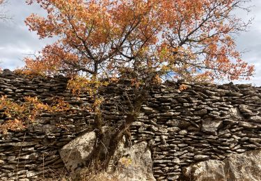
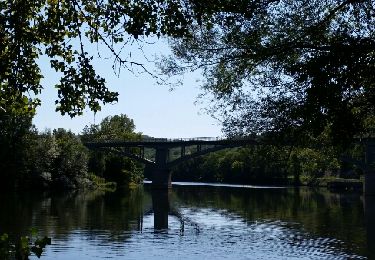
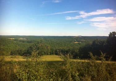
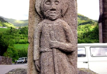
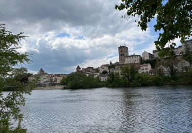
Randonnée de 36 km à découvrir à Occitanie, Lot, Bellefont-La Rauze. Cette randonnée est proposée par zub46.
Marche
Marche
Marche
Marche
Marche
Marche
Marche

sport